![]()
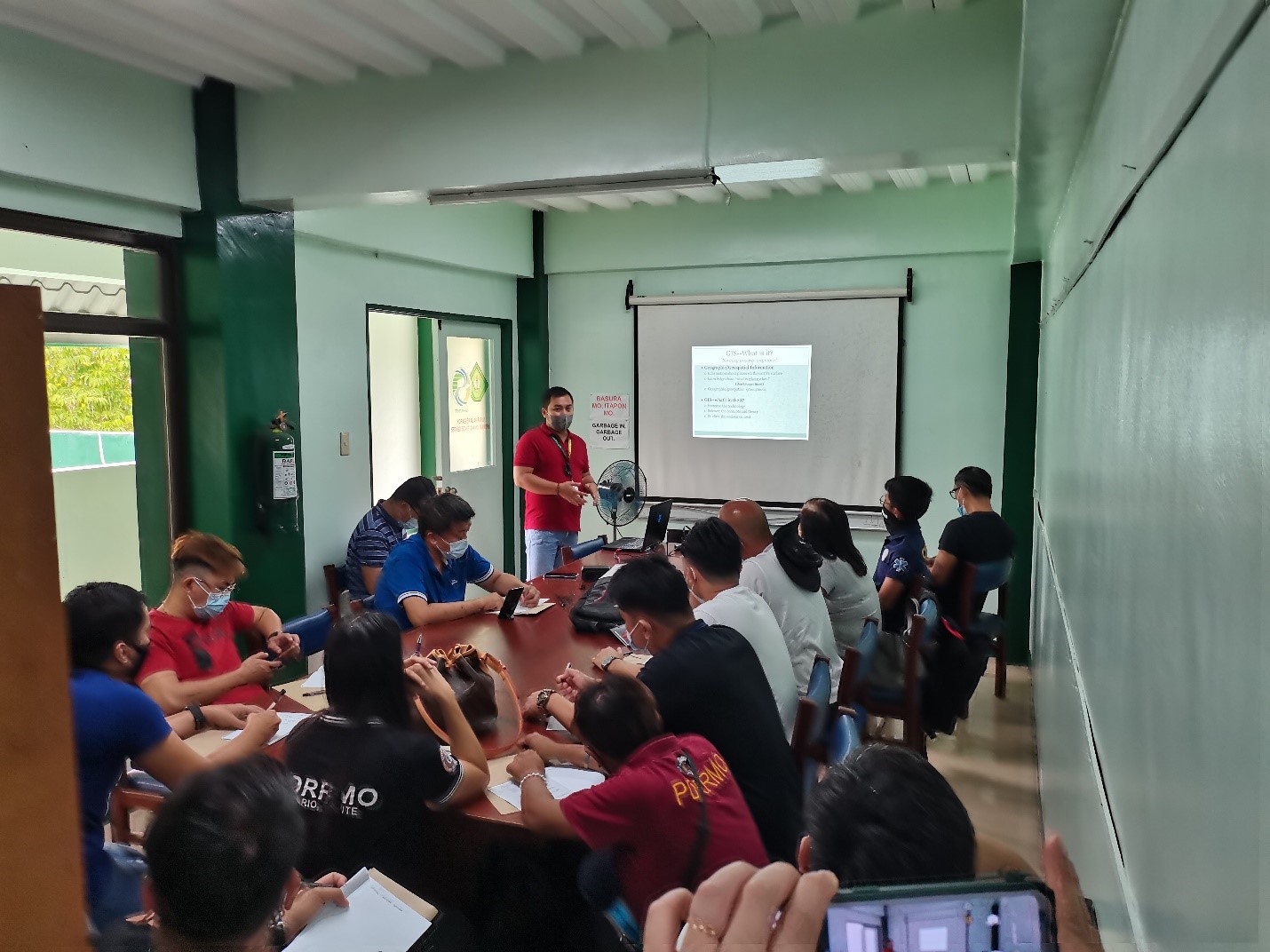
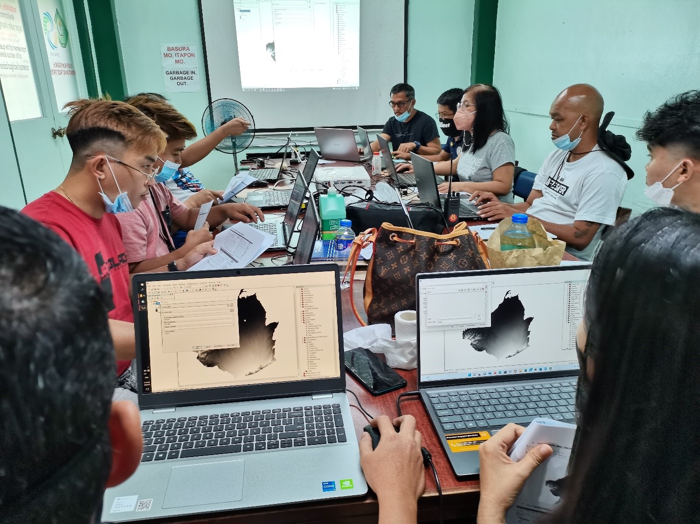
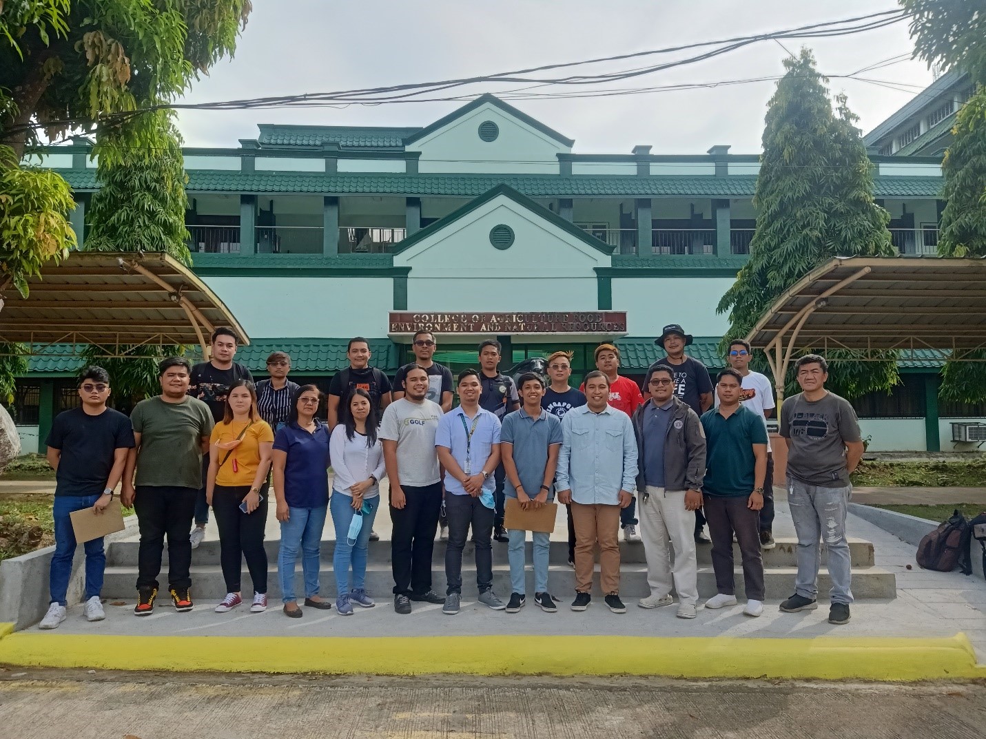
A two-day training on the use of Geographic Information System (GIS) was conducted for the 17 members of Cavite Provincial Disaster Risk Reduction Management Council (PDRRMC) on June 24-25, 2022. The topics discussed include introduction of GIS and georeferencing, overview of ArcGIS software, spatial mapping, creating a landslide and flood hazard map and creating a basic map layout.
It was held at the Environmental Geo-information and Remote Sensing (EnGIRS) Laboratory of the College of Agriculture, Food, Environment and Natural Resources. Mr. Junser P. Magpantay and Mr. Daeniel Zarene P. Mojica both instructors from CAFENR – Department of Forestry and Environmental Science (DFES), Engr. Jose Carlo R. Dizon, instructor from College of Engineering and Information Technology (CEIT) – Department of Agricultural and Food Engineering (DAFE) and Mr. Jhon Laurence B. Herrera, staff from Sugar Palm, Research, Information and Trade (SPRINT) Center facilitated the training. (Jhon Laurence B. Herrera)